The event is staged from Witt's Health, Wellness & Athletics (HWA) Complex. The swimming takes place in Witt's pool, and both the swim/bike and bike/run transitions take place near the front entrance of the HWA Complex. Event personnel will be on duty to guard our gear.
The routes were selected to optimize safety (especially to minimize traffic volume), speed (especially to minimize the number of legally required stops), simplicity, and scenery - in that order. There will be no marshals on the course, of course, nor any markings or signs. You'll have to know the routes well enough to keep yourself on course. So I hope you get a chance to run, bike, or drive each route before the event.
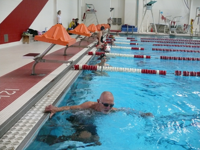 Swim - 800 Meters
If the lanes run north/south (as is usually the case in Witt's pool), each length is 25 yards. Half a mile is 880 yards, which translates to 17.6 down-and-back laps (or 35.2 lengths). So for our event we would swim 18 laps (or 36 lengths) in this north/south orientation, which is officially 900 yards, or slightly over half a mile.
On event day, however, we will probably re-orient the baffles so that the lanes run east/west (i.e., from the pool entrance to the scoreboard), so that we can get 8 lanes instead of 6. Each length is 25 meters in this direction. Half a mile is almost exactly 800 meters, which translates to 16 laps (or 32 lengths) in this east/west orientation.
Regardless of how we orient the lanes, you're responsible for counting your own laps -- or bringing a friend along to count for you.
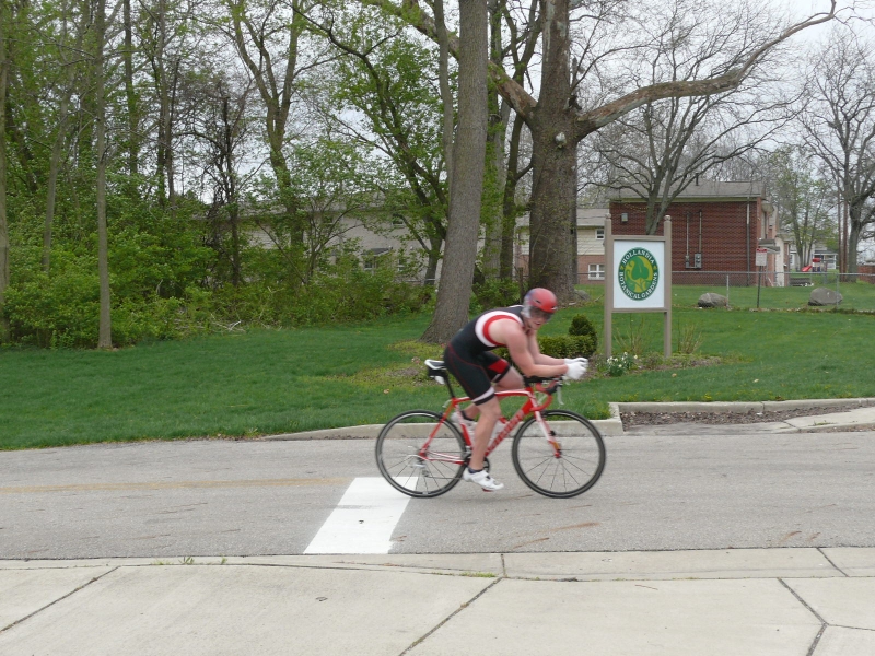 Bike -- 12.2 Miles
 Click the icon to view the bike route
Bike Route
- Leaving the bicycle staging area, turn left onto Bill Edwards Drive.
- Take Bill Edwards Drive to Fountain Avenue and turn right.
- At Warder St, the second stop light, turn left.
- At the next intersection, cross N. Limestone St and ride onto the bike path. Note: the remainder of the course is on Ohio Bicycle Route 40/Buck Creek Trail until you return to this point.
- The bike path will cross Water St, then Sherman Avenue, and then go across the bridge at Sherman Avenue.
- The next stretch is through a wooded area (do not turn right on the spur to the Simon Kenton Trail) before running alongside Buck Creek.
- Continue straight until forced to turn to stay on the bike path.
- Turn left and go across the old iron bridge to enter Old Reid Park.
- Take the path through Old Reid Park and across Croft Road.
- Continue straight (ignore the left turn to cross over Buck Creek)
- Cross Robert Eastman Road once, follow the path as it turns parallel to Robert Eastman and runs to the east side of the reservoir, and then crosses Robert Eastman Rd a second time.
- After riding up the hill, and just before crossing Robert Eastman Rd. a third time, you will reach the marked turnaround point.
- Turnaround and retrace your route to the bicycle staging area.
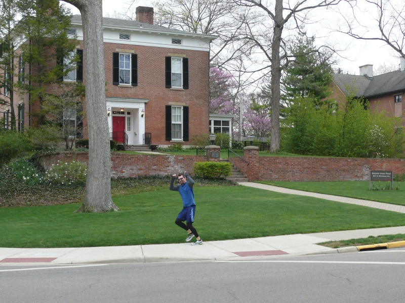 Run -- 3.1 Miles
Click the icon to view the run route
Run Route
- Leave the Transition Area and turn left onto Bill Edwards Drive
- Continue on Bill Edwards Drive to Fountain Avenue
- Turn Left on Fountain Avenue
- Continue on Fountain Avenue until you reach Home Road (there will be volunteers here to turn you around!)
- Retrace your steps back down Fountain Avenue
- Right onto Bill Edwards Drive
- Up the hill to the HWA and Transition Area and you are home!